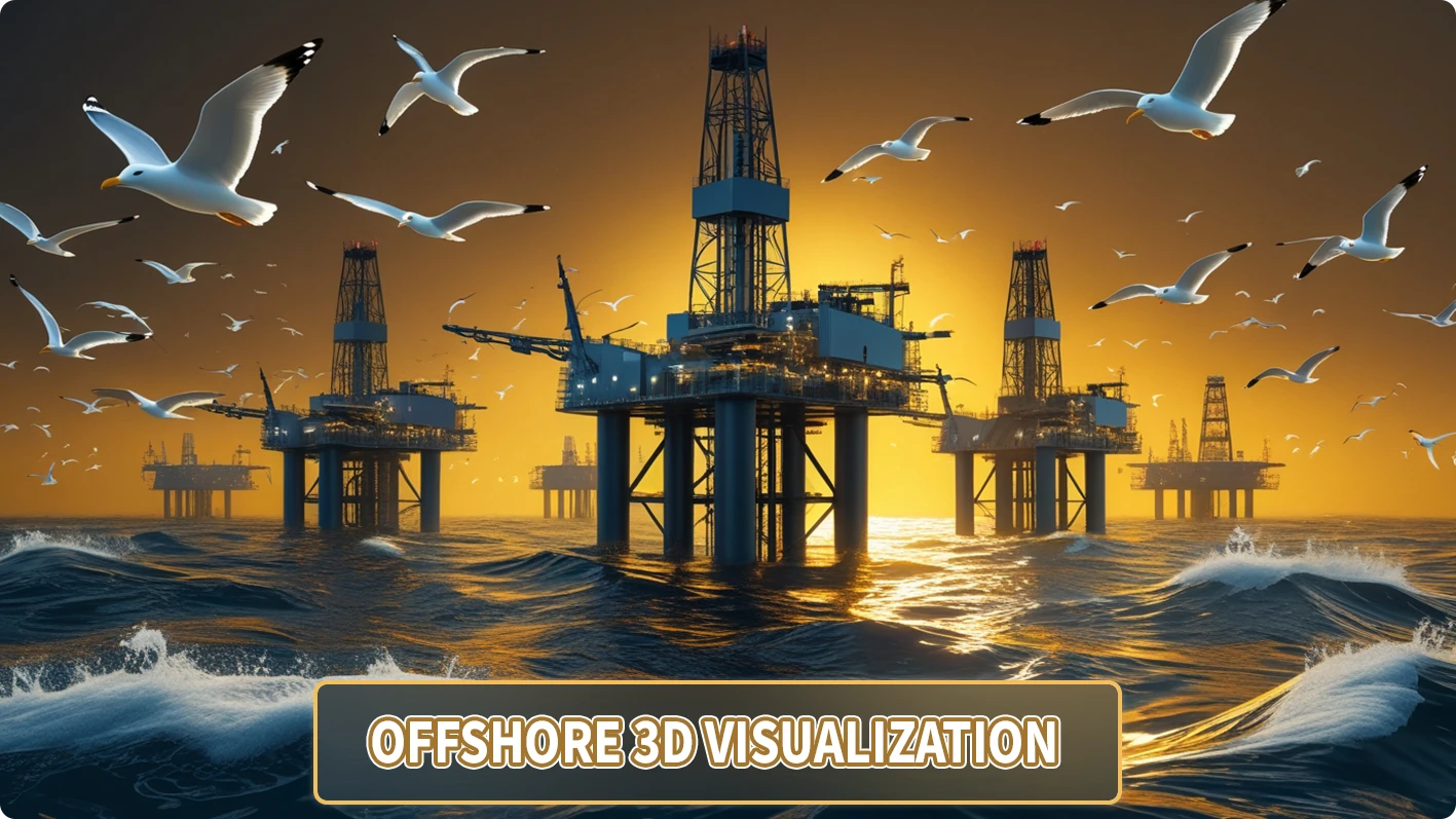
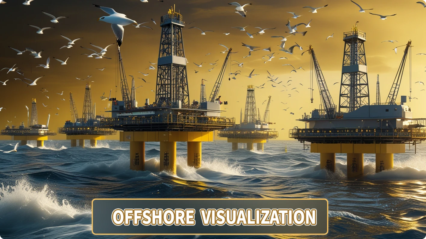
offshore 3D visualization is the use of advanced technologies and modern software to create accurate and realistic 3D images, animations, and models of the ocean floor, offshore environments, coral reefs, shipwrecks, marine organisms, and artificial structures such as oil rigs. offshore 3D visualization technology is used in various fields such as marine exploration, ocean engineering, marine biology, education, entertainment, and even tourism. Producing quality content in this field can increase your engagement and conversion rates and increase the visibility of your business and niche in this field. The expert team at renwable3d is by your side to take advantage of modern technology and provide quality animations to meet all your needs.
offshore 3D visualization is the use of technology and software to digitally reconstruct underwater environments, including dynamic and moving images in an attractive and eloquent manner that portrays all the complex concepts of the underwater world.
What is the use of offshore 3D visualization?
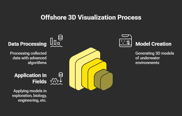
3D visualization has many applications and is used in various fields. Below, we will discuss some of the most important of these applications:
- offshore exploration and mapping: It is useful and helps us in two ways. The first is seabed mapping, which is used to create 3D models of accurate maps of the ocean floor, and these maps are used in various fields such as navigation, natural resource exploration, and geological research. The second is the discovery of sunken ships, which helps marine archaeologists to reconstruct and restore sunken ships and underwater artifacts with high accuracy.
- Biology and Environmental Protection: offshore 3D visualization uses its 3D models to examine all marine habitat conditions, coral reefs, and environmental and climate impacts. In addition, 3D simulations help educate the public about ocean conservation through various platforms,
- Engineering and Industry: Using offshore visualization technology and hard 3D models, engineers can interact and design the desired structures in the field of designing marine structures such as oil platforms, oil and gas pipelines, and offshore wind turbines. By simulating underwater operations, they can easily manage complex projects and prevent potential hazards.
- Tourism and Entertainment: This 3D technology allows tourists to virtually explore coral reefs or underwater historical sites without having to dive and have a real experience. In addition, offshore 3D visualization technology is also used in the video game and ocean-themed animation film industry.
- Education and Research: offshore 3D visualization is used in institutions, universities, and research centers to teach complex underwater and oceanographic concepts, and by providing 3D images, students can gain a better and more accurate understanding of the situation. Researchers also use this technology to simulate environmental changes, such as the impact of global warming on coral reefs or sea level changes.
- Defense and Security: 3D models are used in various fields, such as identifying underwater threats such as mines or enemy submarines, and these models are also used to train offshore operations and simulate military missions in offshore environments, and all this is taught to people in a safe environment.
What are the advantages of offshore 3D visualization?
- 3D models are highly accurate and provide accurate and reliable information about underwater environments.
- This technology, with its easy access, allows the study and exploration of inaccessible environments.
- Interactive models allow users to easily explore marine environments and learn about and train with all related issues.
- 3D simulations save costs. Physical operations have many risks and costs that are not present in these models.
Examining the challenges of offshore 3D visualization
- offshore environments are difficult to access environments that are very challenging to collect information from. Various factors such as high pressure, darkness, and strong currents are challenging.
- Advanced equipment such as multi-beam sonar and specialized software are expensive.
- Processing the huge volume of complex and specialized data collected requires powerful hardware and advanced algorithms.
- Damage to offshore ecosystems is another challenge that some technologies cause.
Frequently Asked Questions
- What is the concept of offshore 3D visualization?
It is a process that uses advanced technologies such as sonar and photogrammetry to create accurate 3D models of underwater environments, marine organisms, and structures.
- What technologies are used in offshore 3D visualization?
Sonar, underwater photogrammetry, virtual and augmented reality, artificial intelligence, and modeling software such as Blender and Unity are used in marine 3D visualization.
- What are the main applications of offshore 3D visualization?
Seabed mapping, study of marine ecosystems, design of marine structures, virtual tourism, and education.
- What are the main challenges of this technology?
Complex data collection, high costs, heavy data processing and environmental impacts are some of the most important challenges.
offshore 3D visualization is a huge technological revolution that is used in scientific, industrial and entertainment fields and provides a better understanding of underwater environments in a safe and risk-free environment by creating accurate and interactive models. This technology not only helps in the exploration and protection of the oceans, but also plays an important role in education and tourism. We at the renewable3d collection help you by designing accurate and attractive models in various fields and attract your target audience by targeting them, which increases the interaction rate.
If you are also active in the offshore fields and need offshore 3D visualization to advance your project, get in touch with our experts at Renewable3d.